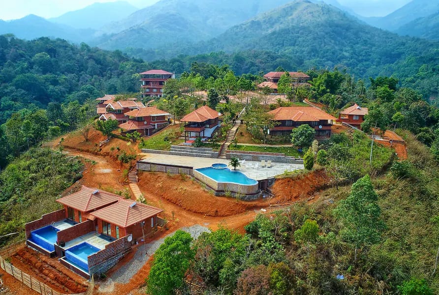
Wayanad Fairvalue
Wayanad is one of the fourteen districts in the state of Kerala and located in the north-east. The name Wayanad is derived from the word ‘Vayal Naadu’ in Malayalam and it is translated in English as the land of paddy fields. It is bordered by Malappuram on the south, Kozhikode on the south-west, Kannur on the north-west, Karnataka State on the north and north east. The administrative headquarters of this city is located at the Kalpetta Municipality. The district was formed as the 12th district in Kerala by carving out the areas from Kozhikode and Kannur districts on 1 November 1980. When Kerala State became a part of India in November 1956, Wayanad was part of Kannur district and south Wayanad was added to Kozhikode district. It covers an area of 886 square kilometer forest out of a total 2,132 square kilometer (823 square miles). There are many indigenous tribes in this area.
Important worship places
The only temple Lava-Kusha at Pulpally in Wayanad, Kerala and Vythiri has the only mirror temple in Kerala which is a Jain temple. The oldest Muslim mosque in Wayanad is Varambetta mosque. The people of Wayanad live in absolute harmony with one other. Pazhassi Raja of Kottayam organized a revolt against the British with the help of the Kurichya tribe in association with Hindus and Muslims of the Malabar region which is famously known as the Cotiote War.
Evidence of New Age Civilisation
Kaniyambetta and Muttil Panchayats are centrally located Panchayats with the best access from all corners of Wayanad, while Tavinjal Panchayat is on the northeast border with Kannur district. There is much evidence about the New Stone Age civilization seen in the hills of Wayanad. The caves found in Ambukuthi Mala between Sulthan Bathery and Ambalavayal with many pictures and writings on the walls, speaks about civilization with little evidence.

Development Activities
In 18th century, Hyder Ali, the ruler of Mysore invaded Wayanad and brought it under his reign. During the days of Tipu, the Wayanad was restored to the Kottayam royal dynasty. Later, Tipu handed over the entire Malabar region to the British by the Sreerangapattanam treaty. The British authorities opened up the plateau for cultivation of tea and other cash crops. They laid roads across the dangerous slopes of Wayanad, from Kozhikode and Thalassery. Later, these roads were extended to the cities of Mysore and Ooty through Gudalur.
Mountains and Rivers
Western Ghats at this district are set high with altitudes ranging from 700 to 2,100 meters. Vellari Mala is the highest peak with 2,240 meter (7,349 feet) situated on the tri-junction of Wayanad. Edakkal Caves located in Wayanad district is more historically important. The Kabini River, a tributary of Kaveri River (Cauvery River) originates at Wayanad. The Wayanad Plateau in this district is a continuation of the ranges up to Mysore Plateau, the southern portion of Deccan Plateau. It is the only plateau in Kerala. Chaliyar river originates in Wayanad plateau and is the fourth longest river in Kerala. The Chaliyar valley in Wayanad district starts from Malappuram district and is known for natural gold fields.
